
Tags
Dollar Bay, Dollars, Earl of sandwich, Fishertown, gold, gruesome, New Ross, Pirates, salvage, Spanish Gold, treasure
The Wexford Coastal Path
Chapter Three
(i)
The lost treasure of Dollar Bay

A warm bright day in early summer is perfect for the long walk. Such breeze as there is refreshes. With clear air and perfect light distant objects seem nearer, they encourage you to keep going, everything seems attainable.
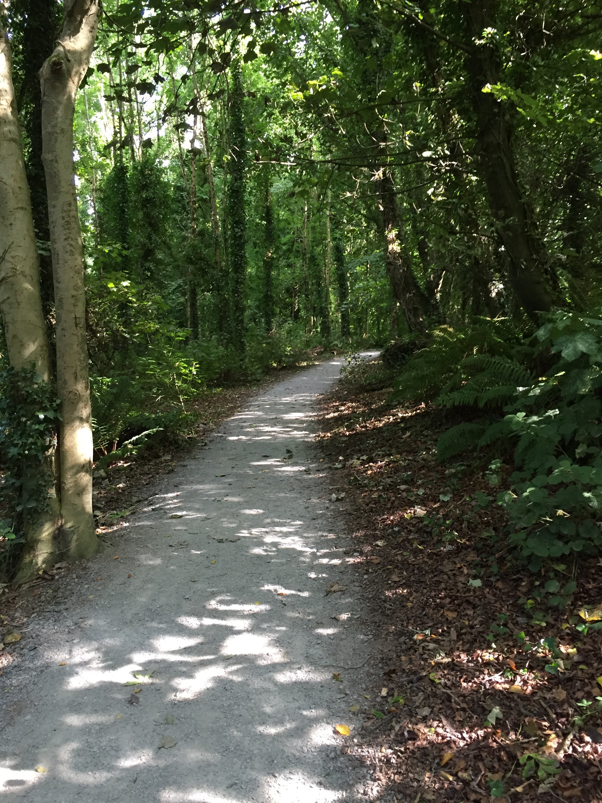
Duncannon beach, from the headland crowned by the fort to the opposite headland at the southern end, is one stretch of the way where I am truly on a coastal path. Waves lap gently on my right hand side, the last wave breaking in rhythmic tones on the clean, fine grained sands. Others are also taking the air, kites flutter and fly, dogs chase seagulls fruitlessly and a lonely wind surfer catches the breeze to skim across the smooth waters.

Firm sand underfoot helps establish a steady rhythm and before long the fort and the village it protects are well behind me and the cliffs ahead come into sharper relief. Geology in the whole Hook area is quite complex and thus fascinating to your average rock lover. Clonsharragh to my North is formed from a rock known as Newtown Head Member, a relatively tough volcanic rock mixed with mudstones. The geology map indicates that from here on southwards to Broomhill the underlying rock is Porter’s Gate Formation, comprising softer sandstones, shales and some limestones thrown in for good measure. Consequently the sea has more success in eroding the the coast there over the millennia since the last Ice Age ended.
Walking by the foot of the cliff yields views of the bedrock in cross-section. Between this beach and the very tip of the peninsula I will pass through eleven distinct geological zones, in the process crossing over twenty two different faults and sheer zones. Some of the fault lines marking geologic boundaries are mere metres apart. A few minutes walking can take you from one to another. In places the coastal cliffs reveal these boundaries so clearly they can be read as easily as the pages of a well written book.
Nearing the end of this, the first of the day’s beaches, I observe other companions of my journey. Flocks of gulls rest on the exposed sands of low tide, lazy and well fed they only stir for approaching dogs or humans. A short flight brings them to another stretch of sand no different to the one deserted moments previously. The important business of resting and preening then continues undisturbed.
A little river cuts across the beach and signals the end of that glorious stretch of sand. Across the river a short, shingly stretch leads to the base of a line of low cliffs. I turn left along the stream, a few steps leading to an old bridge over the stream. Back on the road again I am climbing back up from sea-level, following the twists and turns of an Irish country road.
At a point where the road takes a sharp left turn I notice something I don’t recall ever seeing before. In the very elbow of the right angle a track leads straight ahead. The driver needs to give their full attention to the sharp blind turn and has no time to notice anything else around them. Yet there it was, classified on the map as ‘other roads’, of lesser worth than even roads, 3rd grade, and denoted by a grey colour it looked well worth exploring. A road previously unknown to me, how could I resist the call?
According to the map this little road followed the valley of an unnamed stream. That same stream seemed to reach the sea at my next destination, Booley Bay. From the main road I was now ignoring, a little track led down to the Bay and the route I was now on seemed to merge with that.
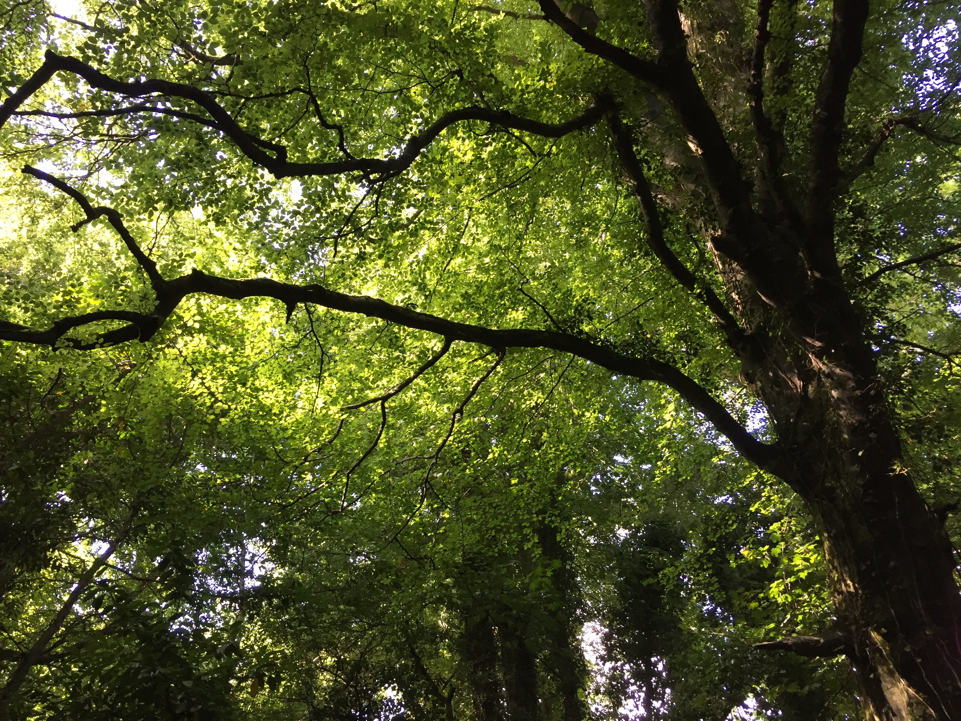
Unkempt banks crowned with the rich vegetation of old neglected hedges soon engulfed me and closed off any views of the way ahead and the surrounding country.
I didn’t care.
The variety of plants in such profusion close at hand was fascinating. Buds were budding, early flowers flowering and bees bumbled their way from one source of nectar to another. All I had to do was let the path guide me along. In spite of a rough, broken surface the way seemed easy enough. After about two kilometres the path less travelled was about to merge with the regular descent to Booley Bay.
The last 100 meters or so were marked on the map by a single broken line, indicating a potentially rough way, for the walker only. Reality and symbol combined in a harmonious whole as the Bay opened up. The solitude that was so refreshing still held as sands stretched from side to side across the little bay. The only litter left behind was simply the natural flotsam and jetsam carried in by the tides. The only sound was that of a little wave murmuring along the tide line.
Bliss.
Pausing and savouring quietly was the way to absorb such peace. The joys of unhurried walking are many and varied, being able to ease into the unexpected, refreshing body and soul being one of the greater.
Truly as W.B. Yeats reminded us, “peace comes dripping slow.”
Again the willingness to let the way take me where it would served me well. It was low tide, glistening sands lay exposed. even more intriguing the headland dividing Booley Bay from it’s neighbour, Dollar Bay, was no longer fringed by the sea. The headland lived up to it’s name, Black Point, because at it’s feet, as far as I could see, dark rocks lay exposed in a questioning jumble.
Could I round the point? Could I go beach to beach at sea level? Was it going to be possible to avoid the obvious way, to refuse the road and choose the sand?
Surely worth a try.
It turned out to be easier than I thought it might be. Easier and far more enchanting. Rock pools were a riot of colour. Fronds of seaweed waved gently, shyly revealing open tentacles of brightly coloured sea anemone enticing passing prey. On the exposed rock the same anemones were little gelatinous colourful blobs distinct among the crusty barnacles.
Mussels and periwinkles in great clusters clung to the sides of the black rocks, secure in the knowledge that their comforting sea would return in a few hours time.
For the most part I was able to keep to the very edge of the rocks. This area is technically a wave-cut platform, where the undercutting of the rock cliff from time to time caused the overhang to collapse, scattering rocks at the cliff foot, ready to begin the same process all over again.
The tide was so low that where the Ordnance Survey Map showed a sliver of sand between the adjacent bays was verified by my feet. A few tidal hours more and this would not be the case. Delighted with my discovery I stepped on, stepped through and emerged onto drier sand below the cliffs of Dollar Bay.

Such a name! For young and old alike the name conjures visions of pirates, gold, buried treasure. I wonder how many times her sands have been swept by metal detectors? I must confess that I haven’t, yet!
The bay was once known as simply Fishertown but that changed dramatically in the summer of 1765. a ship,by name “The Earl of Sandwich”, left the Cary Isles, London bound. she carried a tempting cargo. Along with passengers and wine she carried securely in her hold milled Spanish Dollars and bags of Gold Dust. A tempting cargo indeed, too much so for four of the crew.
Somewhere on the voyage, perhaps as they approached the English Channel, the four killed all on board. With only themselves left to sail the ship she soon began to founder. Taking to a boat with two tons of treasure on board the four landed on the beach at Fishertown.
Once ashore they buried a large portion of their heavy load and proceeded inland. Arriving in New Ross they repaired to a tavern, “The Black Bull Inn.”
Spending freely they drew attention to themselves. Soon enough they were arrested and found to have a considerable sum of money, over 1,200 dollars, about them. they had little choice but to confess and they told their captors where they had buried their ill-gotten gains. Soon enough the garrison ar Duncannon Fort were dispatched and they recovered the buried treasure.
That important detail has not deterred many’s the treasure hunter ever since. However, who knows? In the Public records Office of Northern Ireland a note adds the detail that as they were approaching Fishertown they knew their boat was overladen, in danger of foundering. They jettisoned some of their loot overboard. Where has that wandered to with the tides?
Meanwhile the unfortunate “Earl of Sandwich” drifted, finally running ashore on the rocks at Island Keane, a short distance west of Tramore.
Not all the bullion on board had been removed. We know this as a Mr. John Rogers of Tramore lodged a salvage claim on 23rd February 1767 in the amount of, co-incidentally, 1,200 dollars. He claimed he found this on board the wreck.
The four mutineers were tried, found guilty and hung in a public execution at St. Stephens Green, Dublin. Afterwards the bodies of George Gidley, Richard St. Quenton, Peter McKinlie and a Dutchman, Andres Lukerman, were suspended in chain on the approach to the harbour of Ringsend, Dublin. There they remained for years as a grisly reminder and a warning to others.
Murder, greed and gruesome ends seemed very distant on the day I basked in the warm sunshine and the sheltered air in Dollar Bay.
